

How to Add Cortina City to MSFS
🚀 New Complete Tutorial!
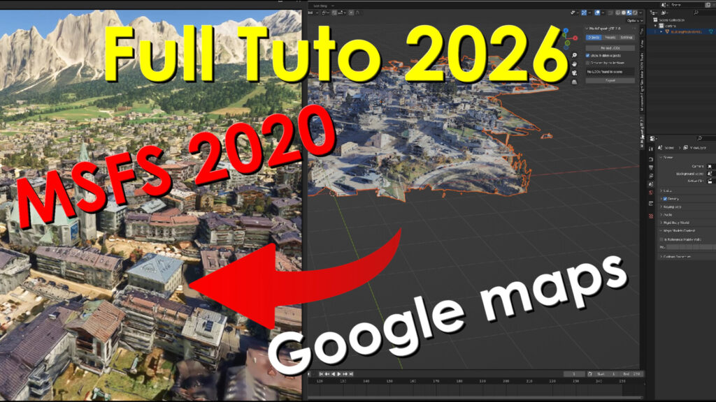
Want to bring a city or landmark from Google Maps into Microsoft Flight Simulator 2020? In this step-by-step tutorial, I’ll guide you through the entire workflow—from capturing the data to flying over your custom scenery in MSFS 2020. In this video, you’ll learn how to:
– Capture Google Maps photogrammetry using RenderDoc
– Import the capture into Blender
– Clean and optimize the mesh
– Fix and manage textures
– Export the model as glTF for MSFS 2020
– Create an MSFS SDK project
– Build and install your custom scenery in Microsoft Flight Simulator Whether you’re a beginner or an experienced scenery developer, this tutorial will help you understand the complete workflow for creating your own photogrammetry scenery.
👍 If you found this tutorial helpful, don’t forget to Like, Subscribe, and turn on notifications so you don’t miss future tutorials about MSFS 2020, Blender, scenery creation, and flight simulation.
💬 Have a question or ran into a problem? Leave a comment below
I do my best to reply to everyone! Thanks for watching, and happy flying!
—————————————————————————————————–
WATCH TUTORIAL STEP BY STEP ON YOUTUBE:
Full Tuto here:
Join / Become a Member

Sibiu CITY SCREENSHOT
DESCRIPTION
—————————————————–
CREDIT:
Big thanks to Jonahex111 and Thalixte for their excellent tools !
1 – Google Earth Decoder Tool: Made by Jonahex111
https://www.reddit.com/r/FS2020Creation/comments/j3faaj/google_earth_decoder_now_userfriendly/
2 – Optimization Tools Made by Thalixte:
https://flightsim.to/file/26245/google-earth-decoder-optimization-tools-gedot-blender-addon